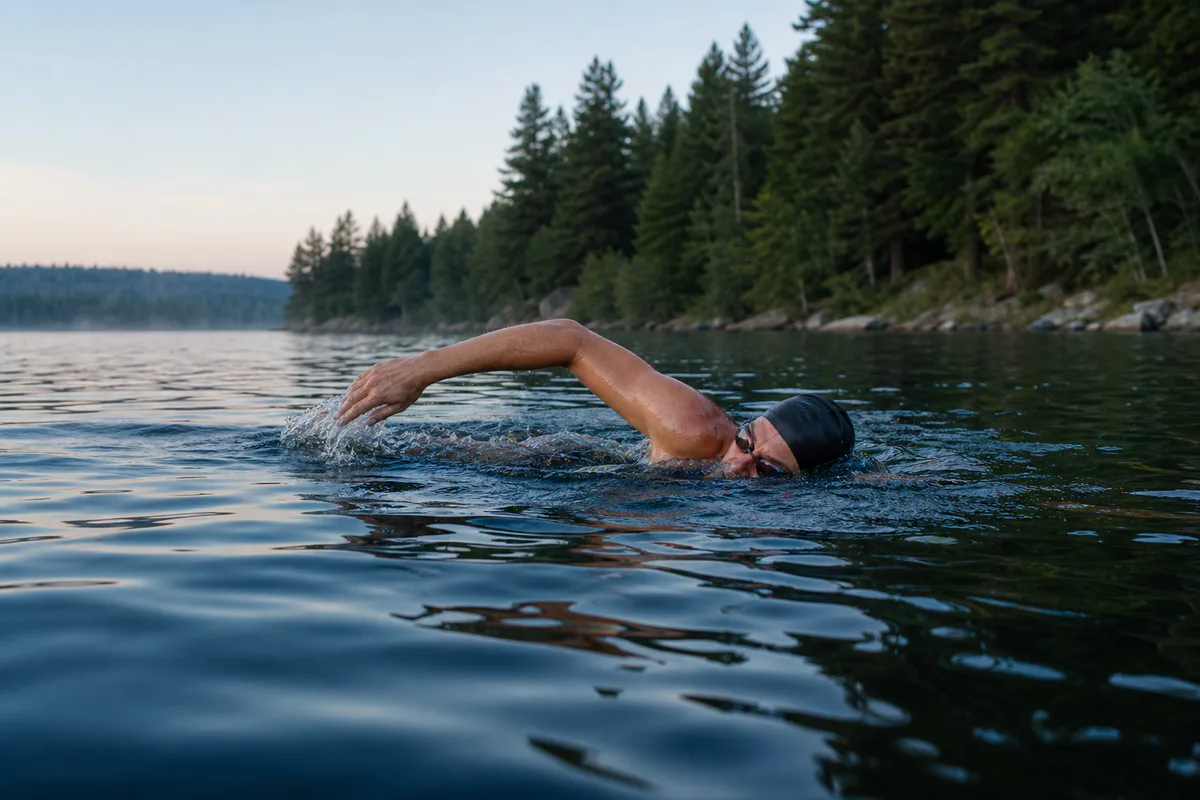
Open-water swimmers
Discover lakes by long-term clarity and physical characteristics.
Explore inland water with context
OWMaps brings historical water clarity, lake depth maps, and lake context into one accessible place for open-water swimmers, freedivers, and scuba divers.
Explore 136,977 lakes and reservoirs across the contiguous United States using historical estimates from 1984–2020.
“This has the potential to be the best thing to happen to the OWS community.”
“The Zillow of open-water swimming.”
Built for the water-curious
Discover lakes by long-term clarity and physical characteristics.
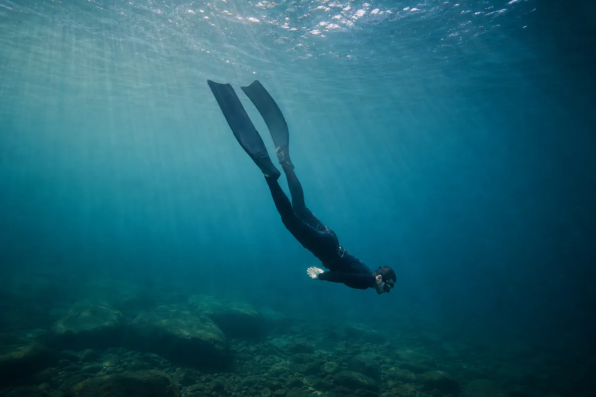
Find promising water and understand whether depth information is surveyed or modeled.
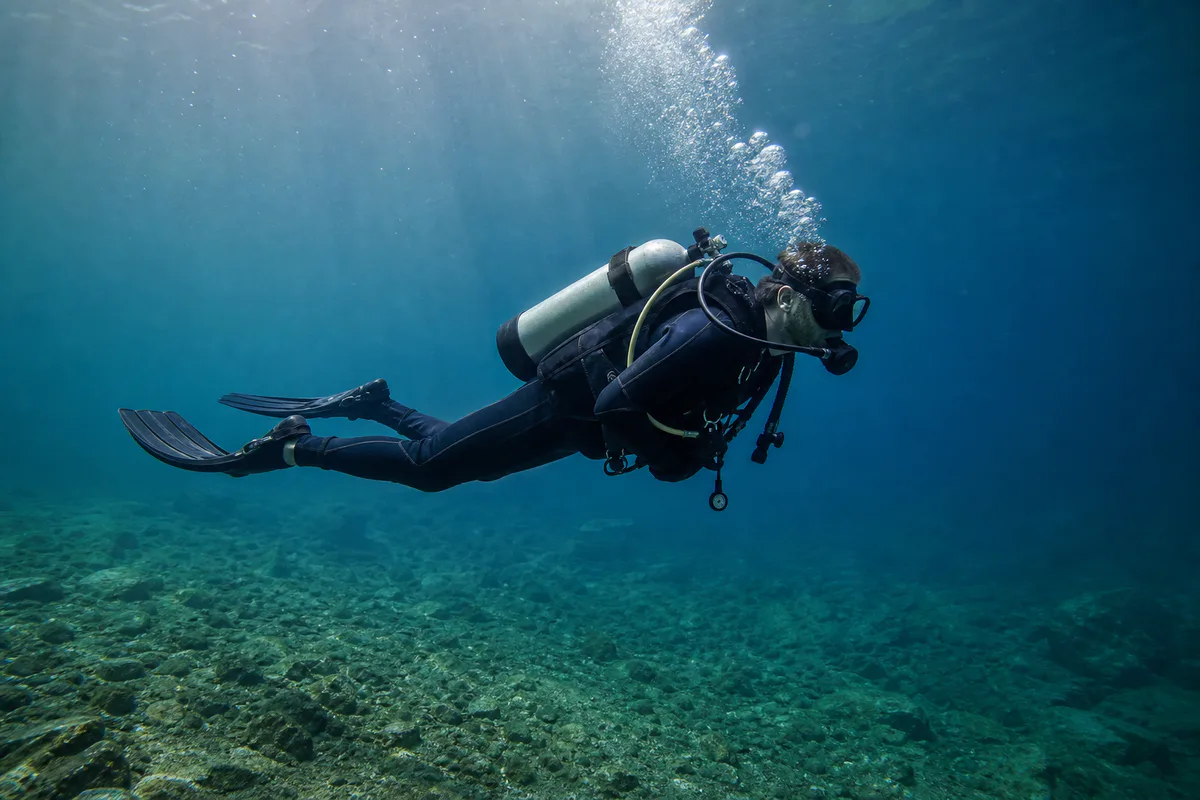
Bring clarity history, depth context, and source provenance into early site research.
OWMaps does not certify current visibility, access, suitability, navigation, or safety. Always check local conditions, weather, water quality, boat traffic, temperature, regulations, and site access before entering the water.
Transparent by design
Every layer comes from a named source. Verified survey contours and modeled depth estimates are kept visually and verbally distinct throughout OWMaps.
Quality-controlled Landsat estimates of Secchi depth, chlorophyll-a, and turbidity from 1984–2020.
Lake identityLake names, locations, surface area, elevation, shoreline geometry, and freshwater connectivity.
Verified depthPublished government depth contours for conservatively matched Minnesota lakes.
Verified depthPublished MassGIS depth contours for conservatively matched Massachusetts lakes and ponds.
Minnesota lake profilesOfficial morphology, resource availability, and invasive-species context loaded by DNR lake identifier for conservatively linked Minnesota lakes.
Modeled depthStatistical maximum-depth estimates used only as a clearly labeled fallback—not measured bathymetry.
Modeled shorelinesShoreline geometry used to approximate GLOBathy depth contours. Licensed under CC BY 4.0.
Topographic basemapTopographic cartography and geographic context from Esri and its contributors.
Satellite basemapGlobal satellite and aerial imagery shown as optional geographic context; imagery dates and resolution vary by location.
Mapped water accessCommunity-mapped boat launches, kayak/canoe put-ins, beaches, swimming areas, and water access points. Missing features do not prove access is absent.